What is a Saltley? Actually, it’s a where and the where is a district of Birmingham.
From Saltley, the main road (B4114) crosses over the River Rea, the Birmingham & Fazeley Canal and five railway lines, on the Saltley Viaduct. A bust artery leading into the city centre.
As part of the on-going HS2 works the viaduct needs to be replaced with a new span high enough to squeeze the HS2 metals underneath. To enable this the viaduct was closed a week ago and the new road will, hopefully, be opening in eighteen months time.
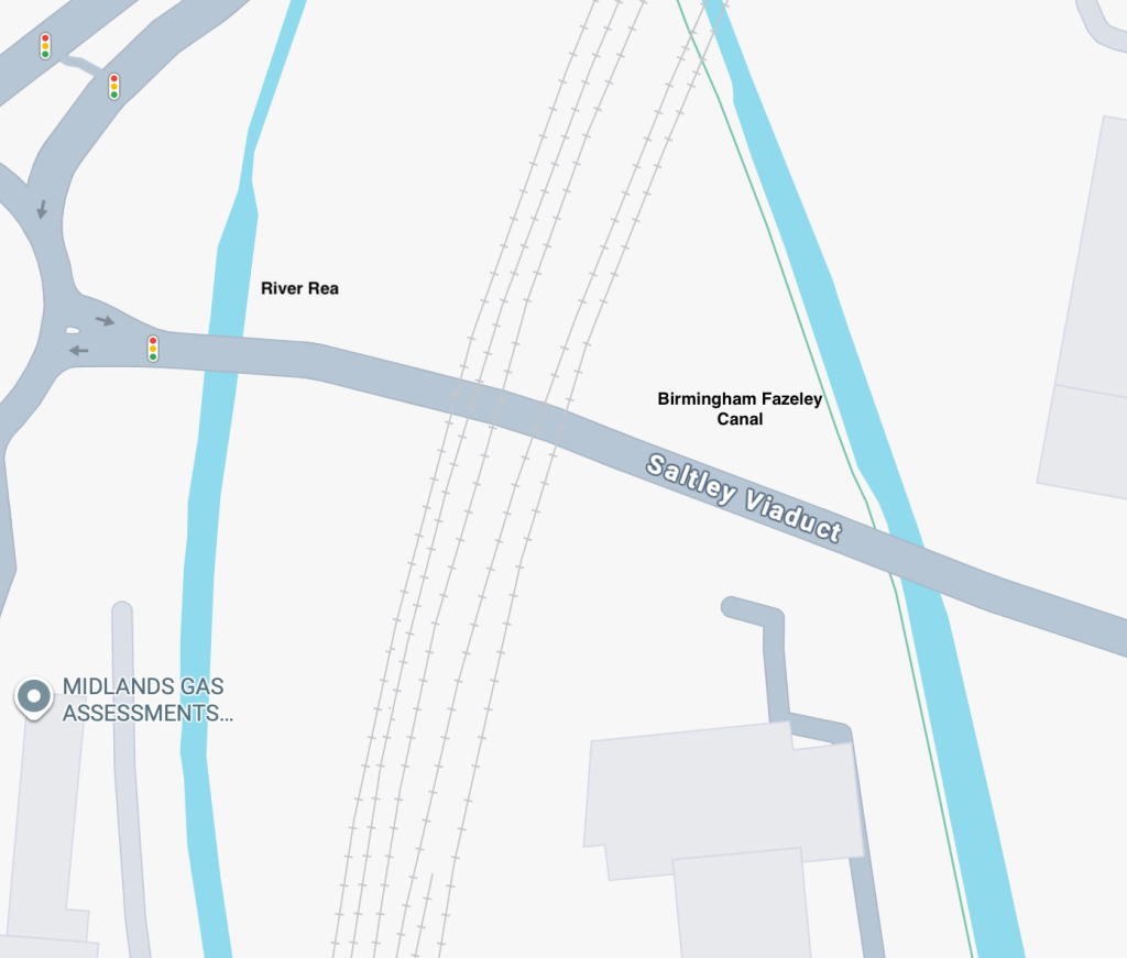
I have travelld over the bridge many, many times and have walked under it on the canal on a fair few occasions. I was wondering whether the canal would be closed along with the road so decided to take a walk over and have a gander.
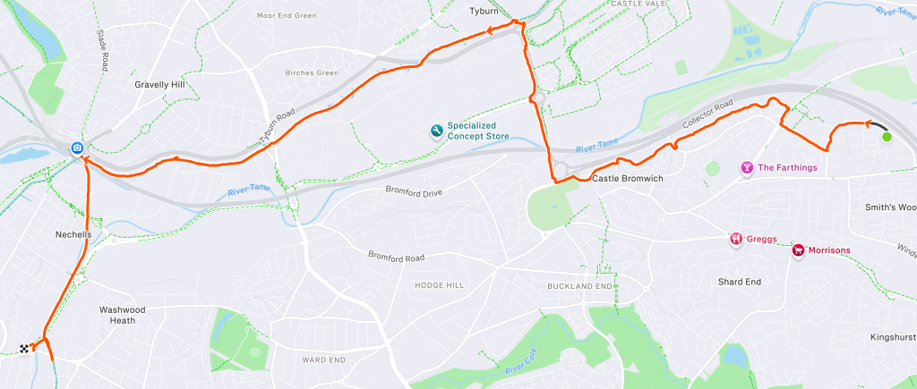
From home, I took a path running between the M6 and a housing estate before dropping down to meet the Chester Road (A452). Originally the main road used to roughly follow the path I’d just descended before being re-routed as what is now known as the Collector Road.
The busy (and noisy) Chester Road was followed until it crossed over the Birmingham & Fazeley Canal at the Tyburn House. At the towpath, I turned left and headed towards Birmingham. Approaching four miles, I Checked my watch which revealed that I was making good time at around 16:00 pace.
A little while later, when I judged I had covered the four miles, I checked again to find … that my watch was flat !
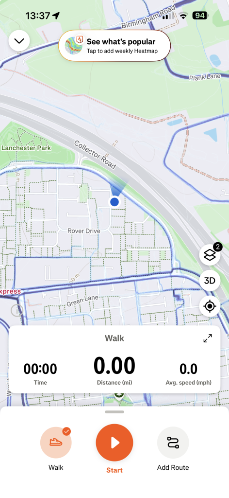
First things first, I whipped out my phone, fired up the Strava app and pressed Start. At least the walk from now on would be recorded and hopefully once re-charged, I could retrieve the first part.
I continued on until I reached Spaghetti Junction (Gravelly Hill Interchange if you’re on the water) and turned onto the Birmingham & Warwich Branch Canal which will join the Grand Union at Bordesley.
Pulling my phone out to check my progress, I was a little surprised to see that I was averaging under 15:00 per mile – my fastest for a while.
Just shy of four miles on the phone (so around eight in total) I reached Saltley Viaduct.
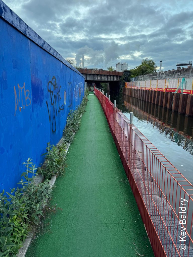
From below, not much has changed (yet) apart from a temporary pontoon accommodating the towpath but I did manage to grab a shot of progress made so far on the replacement.
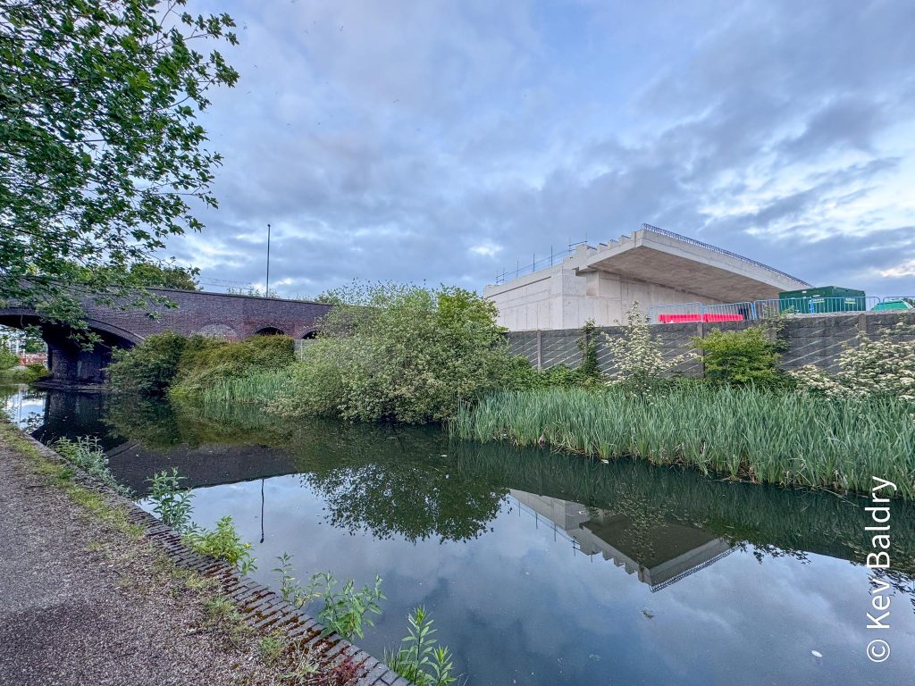
I had to backtrack a little to get off of the canal and made my way to a bus stop to catch a bus back home.
When a bus did arrive, it was diverted around the viaduct as it will be for the next year and a half.
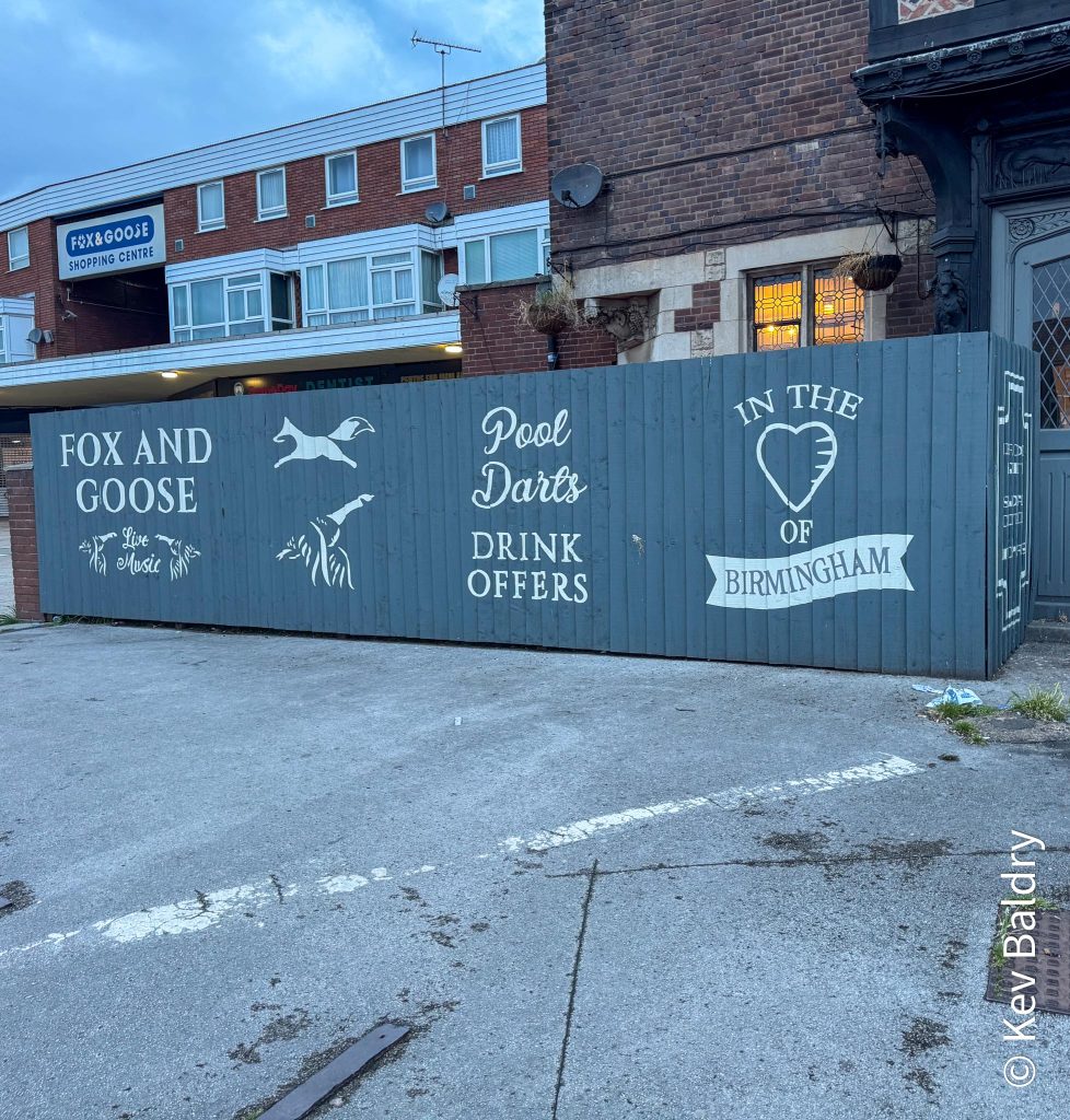
I had to change busses half way (at the Fox & Goose) and walked past this slightly misleading hoarding. “In the heart of Birmingham”? it’s about four miles from the city centre.
On arrival back home, I immediately put my watch on charge. Once it had sufficient juice I recalled the activity which was still running !
Stopping the tracking, I saved it to Strava.
On my mac, I performed a little magic, thanks to Gotoes.org, and joined the two tracks together to produce one walk.
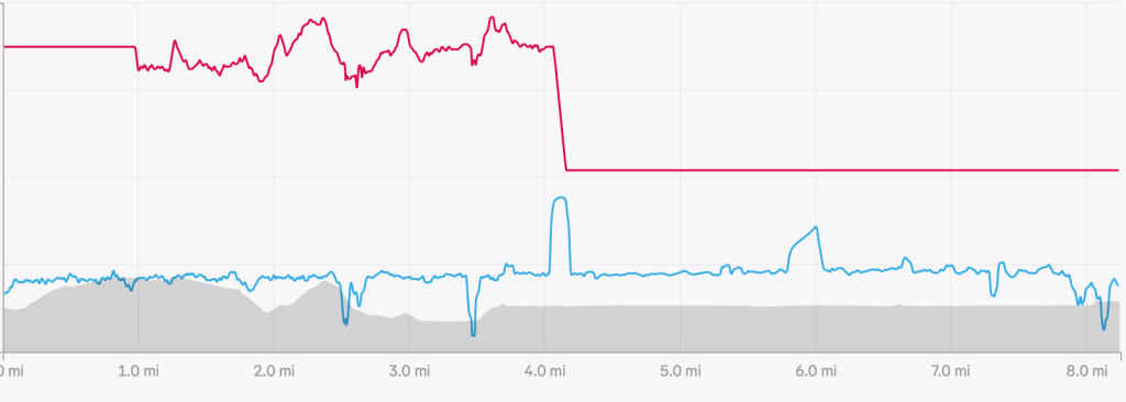
The red trace is my heartbeat but rest assured, I didn’t die at four miles that’s when I transferred to my phone which cannot track my heart.
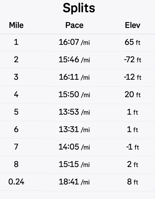
If the splits are to be believed, the second half was a lot quicker. It did feel like it but I did pass under a tunnel around the six mile mark so that could have made a couple of splits look better than they were. However, mile seven was in the open so that should be pretty accurate.