With my MS Walk Birmingham just over three weeks away, I decided to catch the bus into Birmingham and check out the route.
We are currently in an unseasonal heatwave so I forked out two quid to get started before the 9:30 Bus Pass starting time so,
hopefully, I could get around before it got too hot.
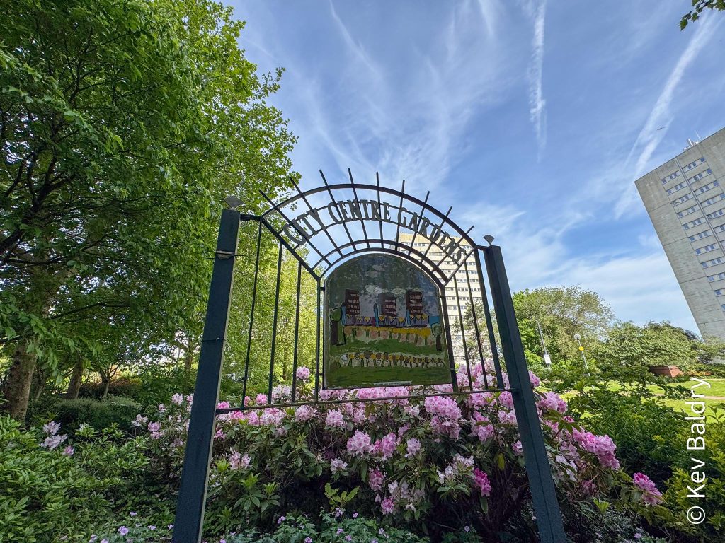
I arrived a little after nine and made my way to the start / finish in a small park, behind the International Convention Centre (ICC).
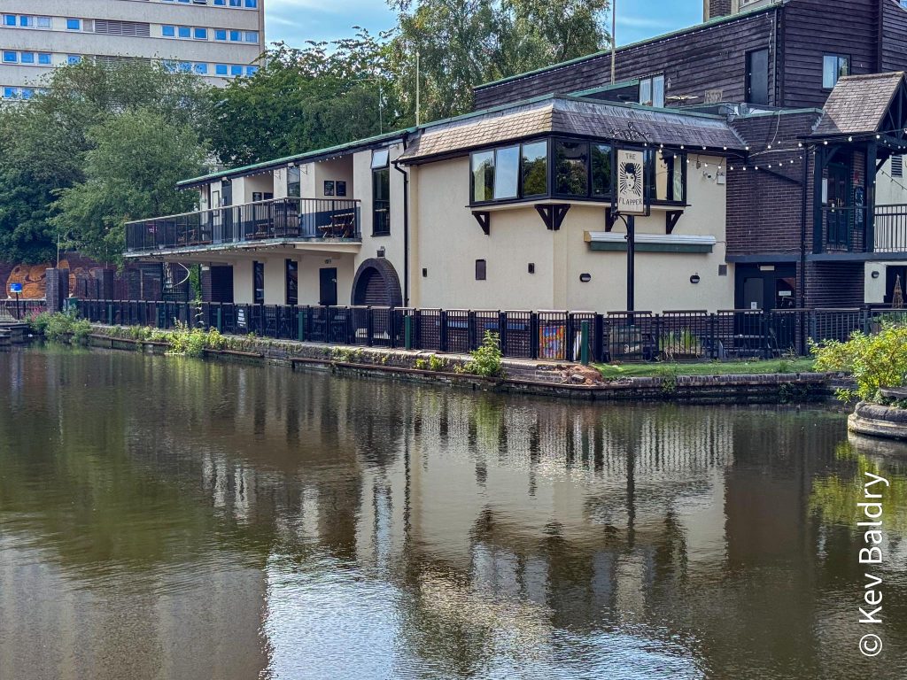
After a final check on the map, I set off towards the Birmingham & Fazeley Canal joining it at Farmer’s Bridge, opposite the Flapper pub.
This establishment (previously known as the Long Boat) has been at threat of closure for many, many years but it’s still hanging on in there.
I had started on the shortest of the three courses so I only had about a kilometre to walk before I’d be back where I started.
A left turn outside the Utilita Arena and over a bridge took me past the front of the Malt House pub (where ex-president Bill Clinton once had a pint – the CIA took the glass away to stop anyone cloning the president).
Sat outside said pub were a couple of guys with plastic carriers and cans of beer. We exchanged good morning before I proceeded to the ICC.
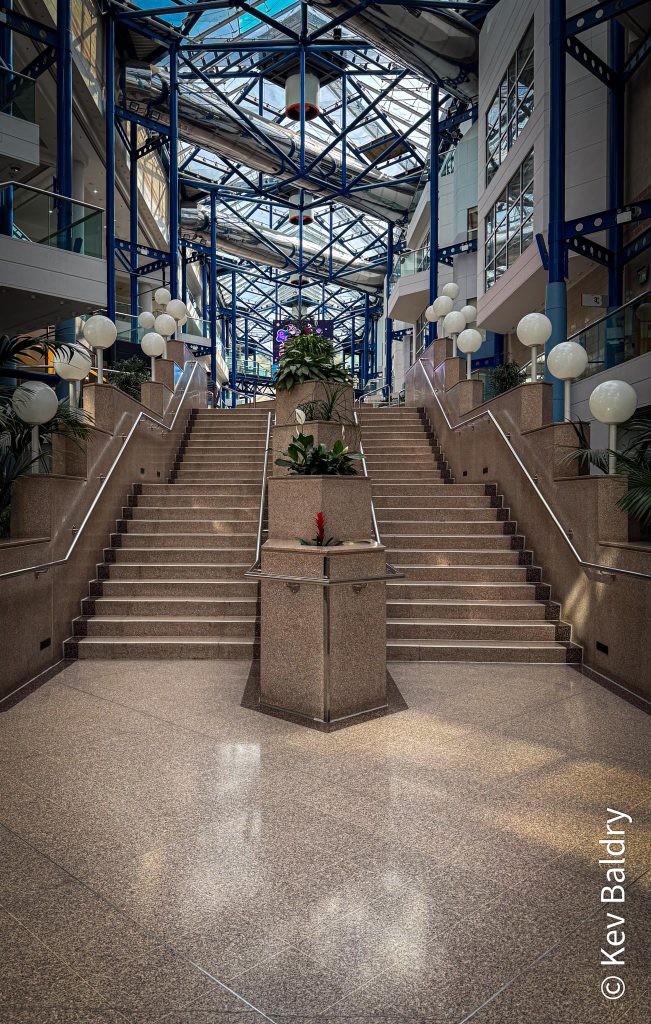
Entering the complex, I had a few flights of stairs to climb, passing the entrance to Symphony Hall, before emerging onto Centenary Square.
There were workmen hard at work collecting metal barriers and packing them onto trucks. I later found out that, yesterday, twenty thousand Aston Villa fans had assembled here to welcome their heroes who had just won some football cup or other (not a big footy fan, myself).
Apparently, it was the Europa League Cup.
I continued past the front of the library before turning left to arrive back at City Centre Gardens. 1K down.
Now the 10K lap is the 5K plus an excursion out to Edgbaston Reservoir. As this was only a recce and not the full thing, I set out to complete the 10K loop.
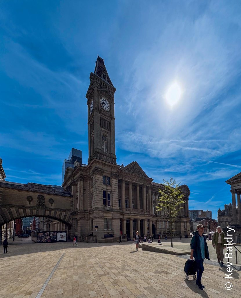
A short back track to the Hall of Memory then on past the Museum and town Hall.
Colemore Row was followed as far as the cathedral before veering off through the grounds of the church (locally known as Pigeon Park) and around the Back of Rackhams and onto Union Street before popping out on High Street (where M&S used to be).
A right turn and I was heading into the Bull Ring shopping centre, past the bull and onto St. Martins.
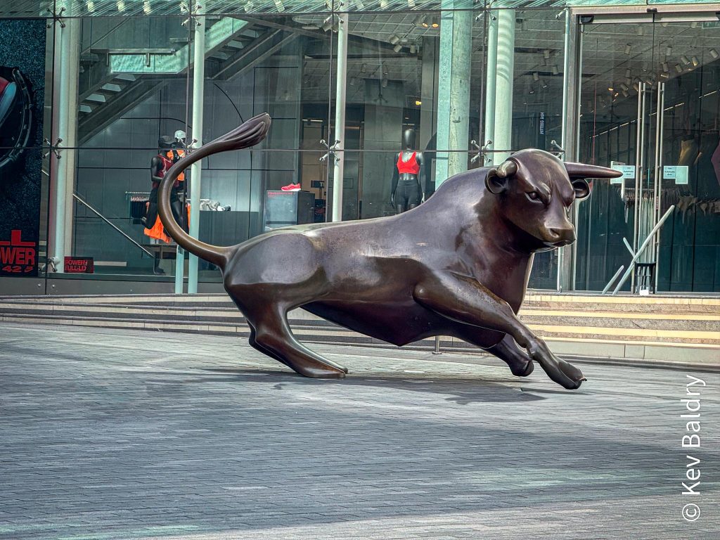
From St. Martins in the Bullring, a short walk through the outdoor market before passing the indoor version and on into Chinatown.
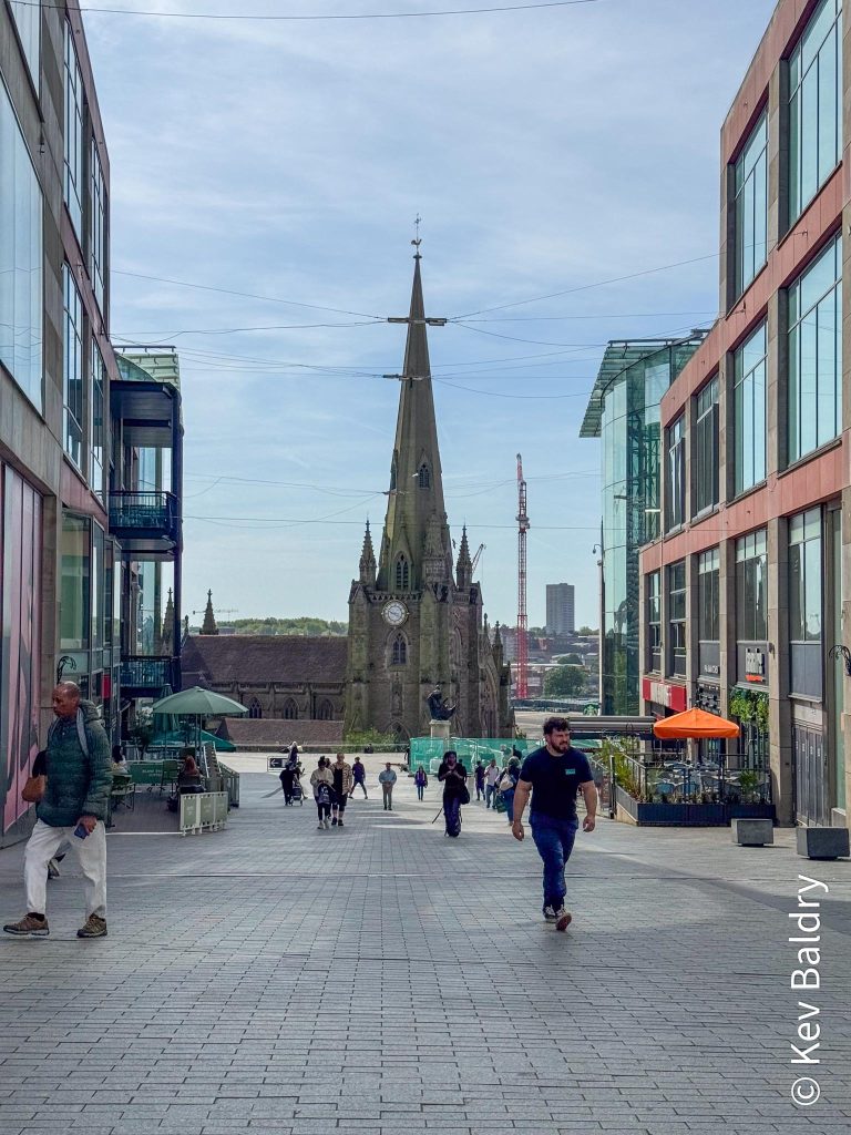
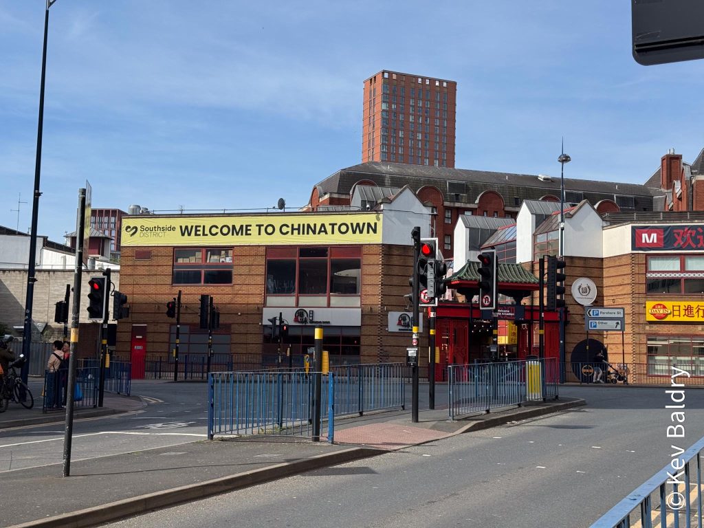
At Hurst Street (in the heart of the Gay Quarter) it was another right turn and I was heading back to the town hall. A day later this area would be rather busy, I’m guessing as it Birmingham Pride this weekend.
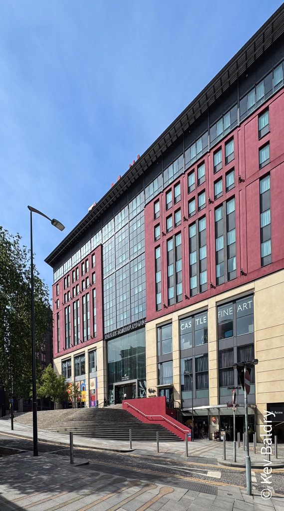
After passing the stainless steel clad New Street Station, it was a left, under Suffolk Street Queensway, emerging at The Mailbox.
This complex is so named as in the seventies and eighties the building was home to the Post Office’s main sorting office for Birmingham (Postcode B1 1AA).
As an apprentice with Post Office Engineering, I spent some time here learning about how to maintain the increasingly mechanised sorting machines.
I remember that one of the machines was known as ALF standing for Automatic Letter Facer. This device would ensure all the letters were the right way up and facing the right way so that an operative could read the postcode (postcodes were fully rolled out in the seventies), type it onto a keyboard and the machine would stamp a code onto the letter which sorting machines, further down the line, could read and sort.
I have found a video on Youtube all about the new mechanisation.
At the rear of the Mailbox (which used to be the main entrance to the sorting office) is an unusual piece of street art …
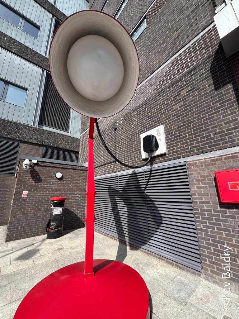
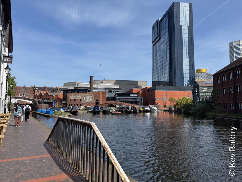
From the big red lamp, a short stroll brought me to the canal and from there I was able to walk to Gas Street Basin.
This is at the junction of the Worcester and Birmingham canal and the Birmingham Main Line. When canals were owned by different companies, the owners were very protective of their water and at Gas Street used to stand the Worcester Bar. A physical barrier meaning that boats had to transfer their cargoes from one canal system to the other.
Eventually, a lock was installed at which the bargees had to pay a toll to pass.
Today the narrow section that was the lock remains but there are no gates.
After passing under Black Sabbath Bridge (with Broad Street above) I was now walking along the other side of the canal that I had walked earlier.
A left turn led me away from the city centre and out in the direction of Wolverhampton (not going that far today).
At the not too enticingly named Rotten Park Street, I left the canal (for now) heading for Edgbaston Reservoir.
Walking along Rotten Park Street involves a walk through a newly developed housing complex called Port Loop.
I passed roads with names such as Nickel, Cobalt and Copper which got me thinking.
I grew up in the area and remember this used to be home to a number of factories so perhaps the elements had something to do with something that used to stand here.
Initial research reveals that Docker Brothers paint factory once stood on this road and those elements are used for colouring paints. I can’t find anything definite but it sounds plausible (to me, at least).
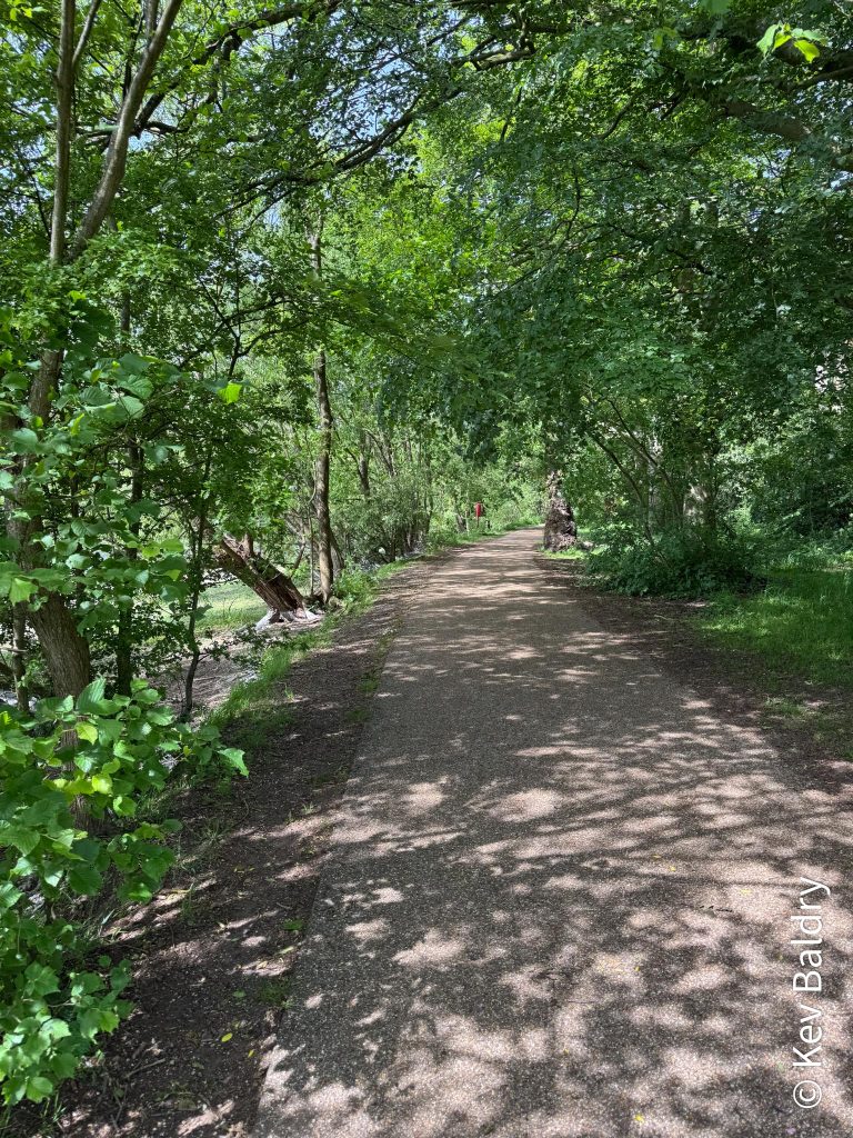
The promised hot weather had arrived and in need of a drink I nipped into a local convenience store for refreshments before crossing the road and entering Edgbaston Reservoir.
Originally a small pool, it was greatly enlarged by Thomas Telford to feed water into the Birmingham Canal Navigations, emptying into the Engine Arm, not far from the pump house I’d visited a couple of weeks ago (LINK).
The reservoir is up to forty feet deep and holds three hundred million gallons after water.
A lot of the perimeter path is under trees (welcomed shade today) but where it does open out, it affords view of the Birmingham City skyline.
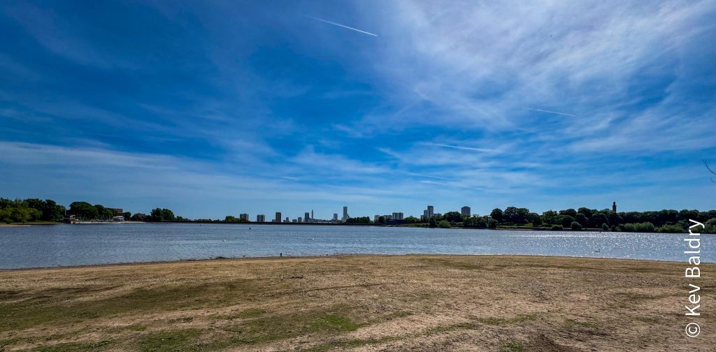
About three quarters of the way around, I left the water and headed up past the site of The Tower Ballroom.
The Tower was open for nearly one hundred and fifty years, hosting events such as ice skating, weddings, boxing matches (hopefully not at the same time as the weddings) and musical performances. Apparently, The Smiths and New Order have played there.
The Tower was demolished in 2022 and the site is still unoccupied although the sign exists (see photo).
Leaving the reservoir, I passed a café cum chinese takeaway which I used to use when I worked at nearby Five Ways. A speciality was chips and curry sauce which I’d enjoy with work mates on a Friday dinnertime.
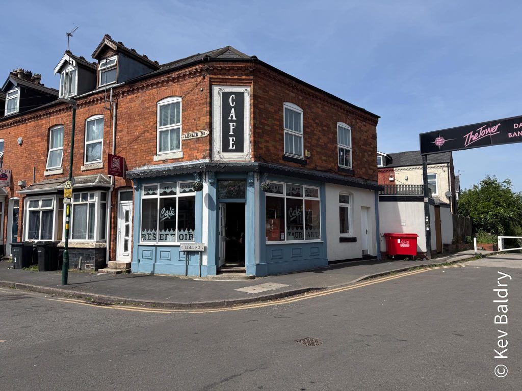
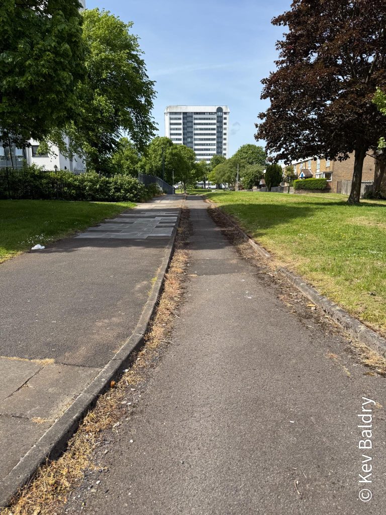
After crossing the Ladywood Middleway, I found myself walking along a very narrow road, possibly the remains of Alston Street which is now called Botany Walk.
The area is due to be redeveloped in the near future so that may mark the end of this thoroughfare.
Another short walk brought me back to the canal system which was joined heading back into the city.
Passing the Lego centre, I turned right to cross over the cut and join the 1K route I’d done earlier.
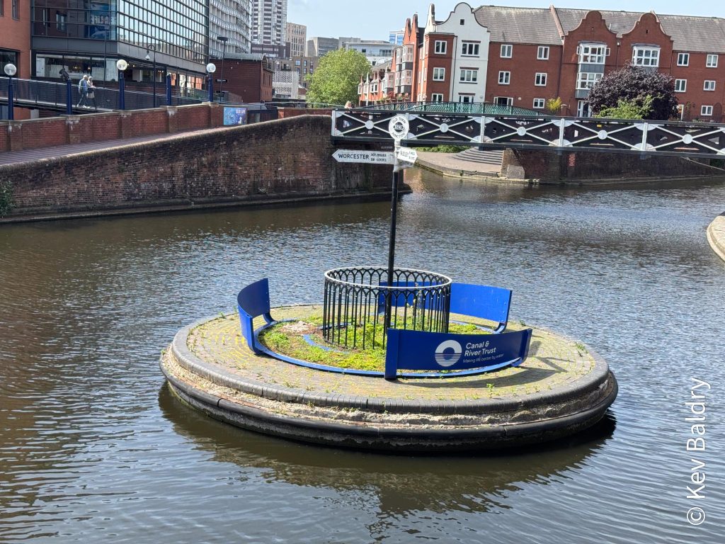
This is the site of a roundabout on the canal. Installed during the Second World War, this would facilitate the erection of temporary dams should the area be bombed. The railway into Birmignham New Street runs below.
As I passed the Malt House for the second time, the two gents I’d spoken to earlier recognised me and we, again, exchanged pleasantries.
Once more, through the ICC and past the library to return to the park when it all began.
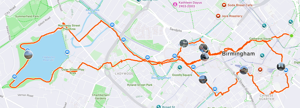
I had walked (including a bit from the bus stop to the start) 7.67 miles. On the day of the walk, having to do the right hand section of the 10K walk twice, I’ll be walking ten miles.
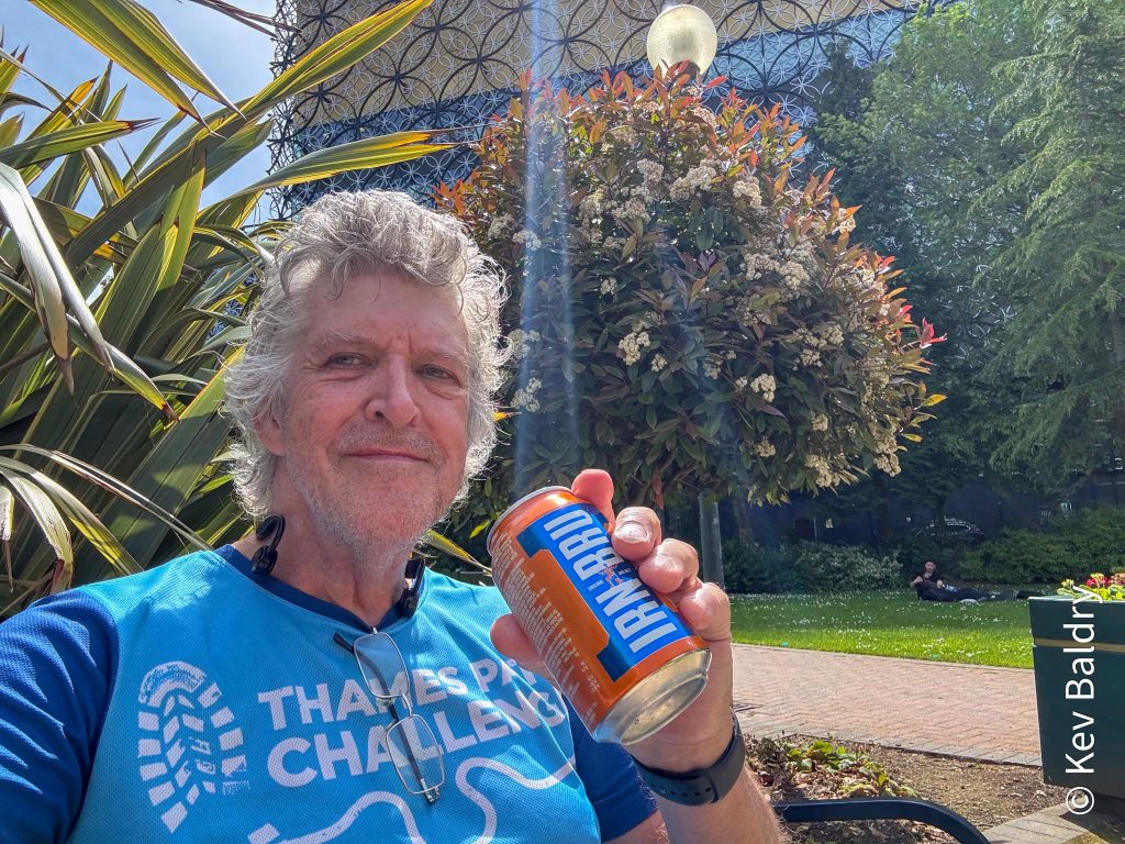
I sat in he park for a while, rehydrating with a can of Irn Bru.
Maybe it was the heat; Maybe I hadn’t drunk enough but I felt rather done in so rested a while before catching the tram from Centenary Square to Bull Street from where a short walk took me to the bus stop home.
Apart from feeling a bit knackered, the knees had held up and I’d averaged a pace of 16:46 which included stopping for photos and a shop.
One thought on “Recce”