Following on from Monday’s eleven mile walk after which, apart from the usual soreness, my knees suffered no more than usual, I decided on another for today.
Initially, I was going to get a bus to Meriden then following the Coventry Way and Heart of England Way walk to The Griffin for the usual Wednesday get-together of what we call the Griffin Cycling Club.
Last thing last night, though, I changed my mind and came up with a plan B. Basically get to Tettenhall, north of Wolverhampton, then walking along a canal and disused railway do a loop of around ten miles.
The last time I walked in this area was nearly ten years ago, when my other half was working in Wolverhampton and I would often cadge a lift one way or the other.
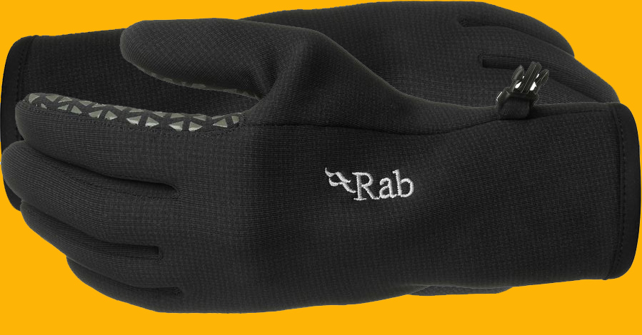
I particularly remember the last time as after my walk / run (that’s how long ago it was) I left my gloves on a bridge and we had to detour on the way home to retrieve them.
Luckily, it was a lot warmer this morning so I didn’t have to take any gloves.
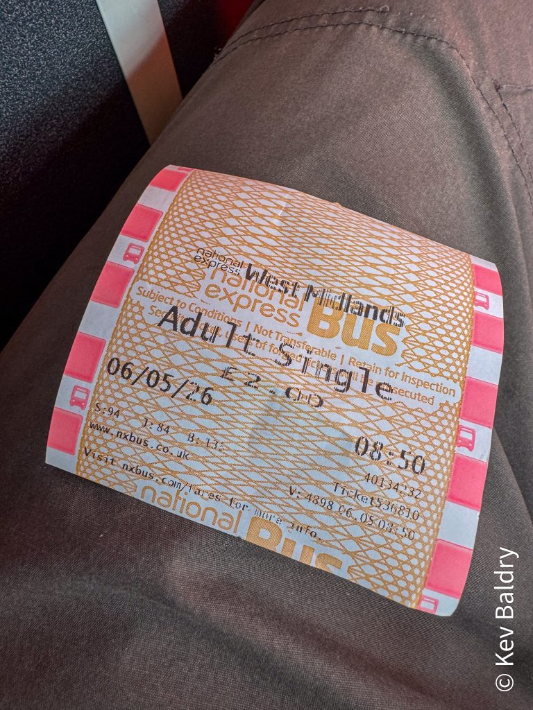
I was up and ready quite early (thanks to the doggies waking me up) and instead of waiting for the twirly (too early), 9:30 deadline forked out two quid to buy a subsidised, single bus ticket into Birmingham.
I would have arrived in Brum about ten minutes earlier than I did if it wasn’t for about forty small children in suitably small hi-vis jackets getting on and off the bus. I think that it could have been a school trip to The Thinktank.
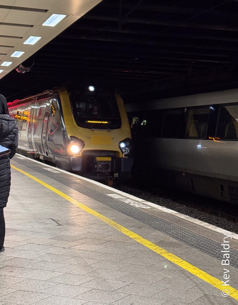
From the bus, a short walk brought me to New Street Station and after checking the departure boards I made my way to platform 5B for the 10:01 to Wolverhampton.
Thirteen minutes after leaving New Street, we were pulling in Wolvo thanks to Cross Country.
After a quick stop to use the facilities, I took a short walk towards the city centre where I caught a number one bus that was just about ready to pull away.
Ten minutes later, I was alighting from the bus just shy of Tettenhall.
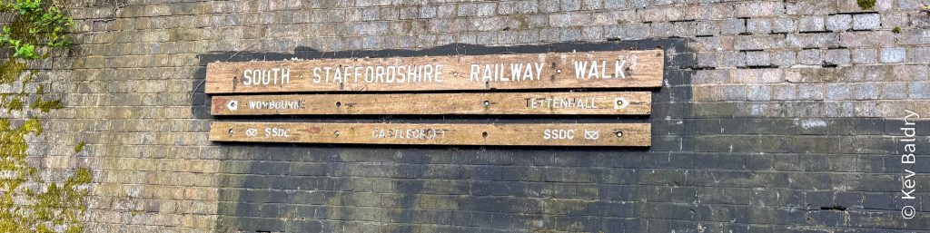
A short walk along the main road, around the corner from Majestic Wines, was the entrance to the railway walk.
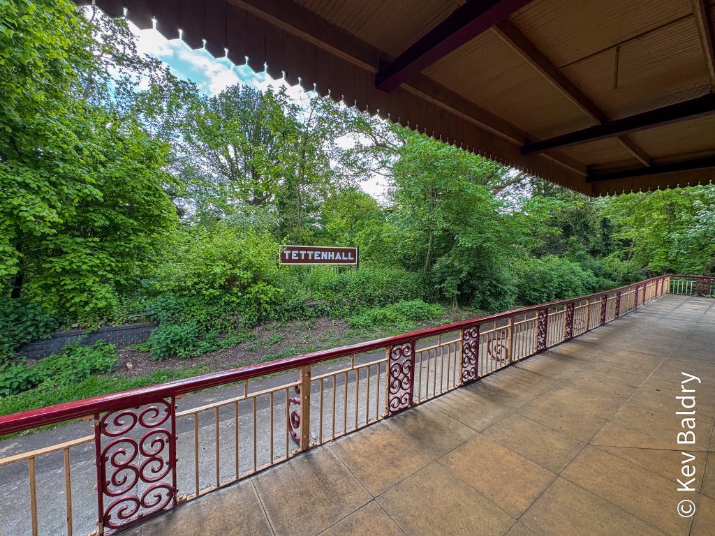
The station at Tettenhall has been renovated and now houses a tea room which unfortunately wasn’t open today.
Behind the station, in the old goods shed is now home to the Tettenhall Transport Heritage Centre. Described as the best man cave ever, this too was closed (open weekends only).
With nothing to delay me, I stepped onto the old trackbed and started walking.
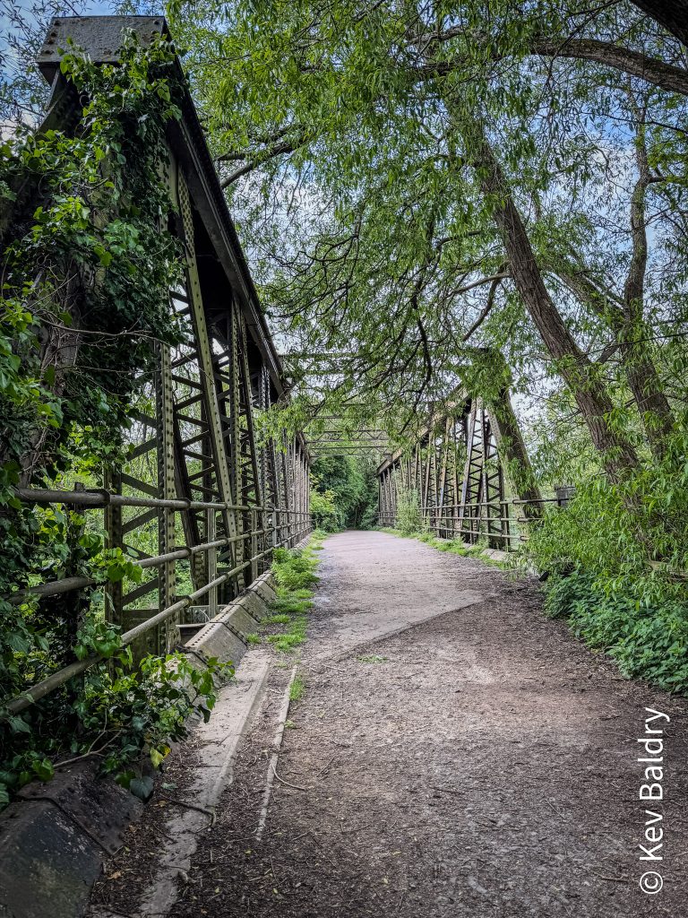
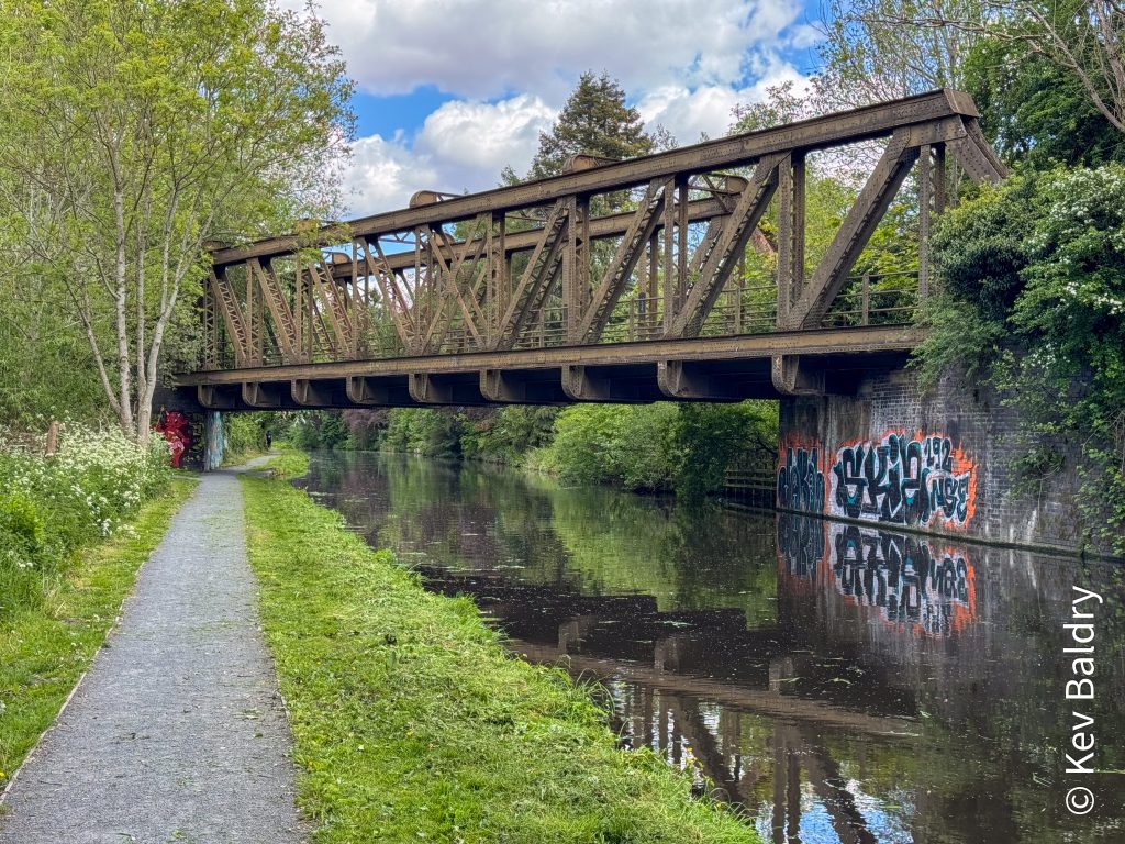
After about a half mile, I came to a girder bridge which spanned the Stratfordshire and Worcestershire Canal which I will be walking along later.
I was now walking along the South Staffordshire Railway Walk which runs from a little North of where I started to Pensett – a total of eleven miles. However, I would only be taking in about five miles as far as Bratch where I would transfer to the nearby canal for the return.
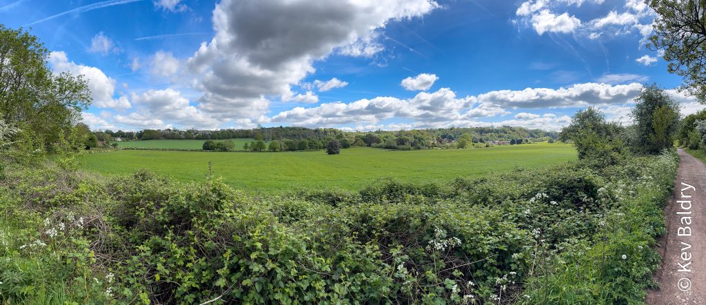
The trail surface was firm with only a few muddy patches. A lot of the trail was in a cutting but when it did open up, the views were impressive.
After about one hour and twenty minutes, I reached another station / tea room (closed) which meant that I was at Branch.
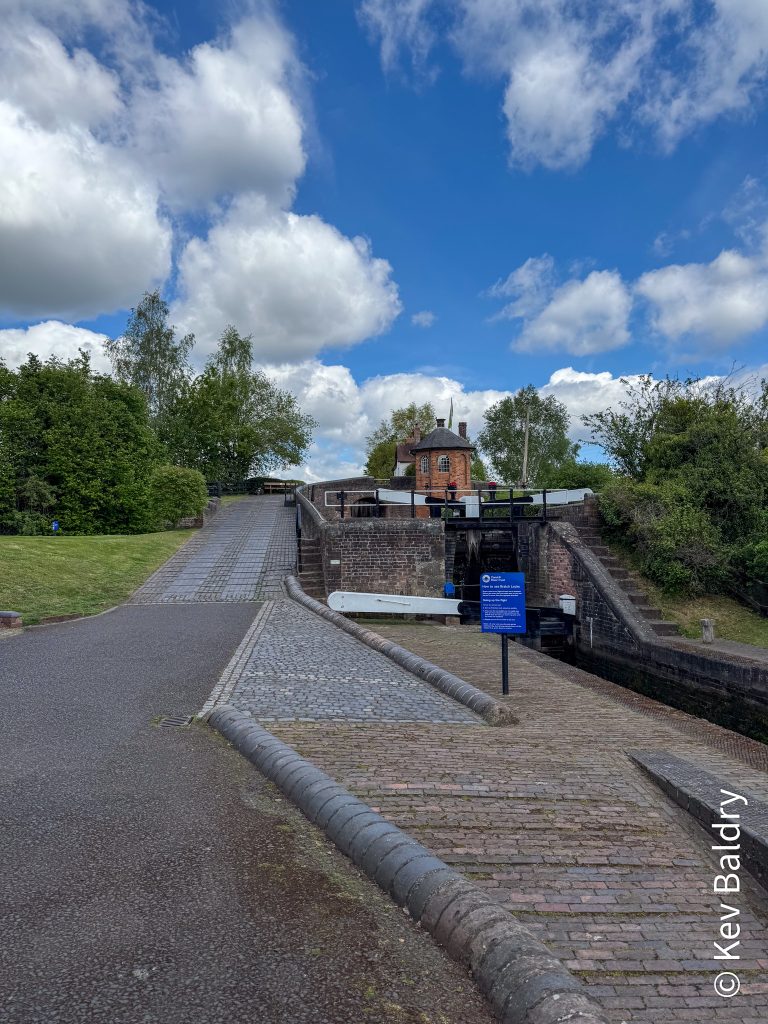
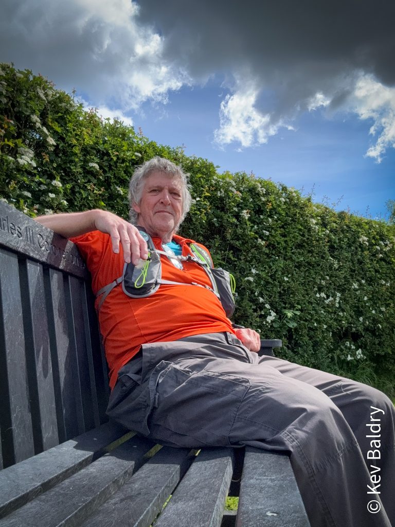
A short walk along a road and I was at Bratch Lock. After climbing up to the lock keeper’s cottage, I found a bench where I took a five minute break.
Refreshed, I continued along the tow path passing a few more locks en route. A little way along, I was greeted by a couple of walkers whom I had passed going the other way on the parallel railway path. They asked where I’d turned around and after telling them they told me that I was doing well and that I looked good striding along. I was glad to hear that – I could be on the way back.
All was going well until about seven miles when my left knee just gave up and I was unable to put any weight on it. I took a few tentative steps – ouch ! I tried a few more – ahhh ! Again, it got a bit easier so I pushed on. After a couple of minutes, the pain had gone and I was back to full speed.
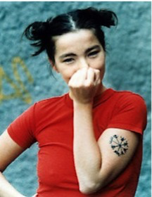
A number of years ago, I had a tattoo inspired by Bjork. The symbol is called a Vegvísir.
As I was strolling along the final bit of canal, a boat pulled alongside. The boat was called Vegvísir and had the symbol emblazoned on its side.
I immediately, rolled up my sleeve declaring, “I’ve got one of those!”
The boat owner beckoned to their other half, “Look”, pointing towards me, “Cool !”
The Vegvísir is a Norse protection symbol which has a deep meaning. The Icelandic word literally means ‘guidepost’ or ‘direction sign’. In modern popular culture the Vegvísir is often called Runic Compass or See the Way. It is often associated with the Viking Age, which is not correct: this symbol is from the 17th century Icelandic grimoire called Galdrabók (‘magic book’).
I knew that I was nearing the end of my walk as I passed under the bridge I’d walked over earlier.
Just shy of the Tettenhall Road, I stopped the watch, recording …
- Distance – 10.35 mi
- Time – 2:51:02
- Pace – 16:31 /mi
Back on the main road, I popped into the nearest convenience store for a drink and some nibbles before jumping a bus back into Wolverhampton. A train took me back to New Street where a short hop on the tram took me to the final bus of the day.
My knees (especially the left) were a little sore but that was, I hope, just from the amount of mileage covered.
Back home, a soak in the hot tub and a bite to eat had me right as rain and ready to regale the Griffin Cycling Club with tales of my adventures – as well as the usual bollocks !